
Friends of the Loxley Valley have today submitted an objection to the current planning application to build 73 houses on the old Hepworth factory site in the valley bottom.
We recognise that Sky-House are attempting to deliver an environmentally friendly scheme in keeping with the exceptionally sensitive site. We met them several times to be appraised of their thinking before they submitted the planning application.
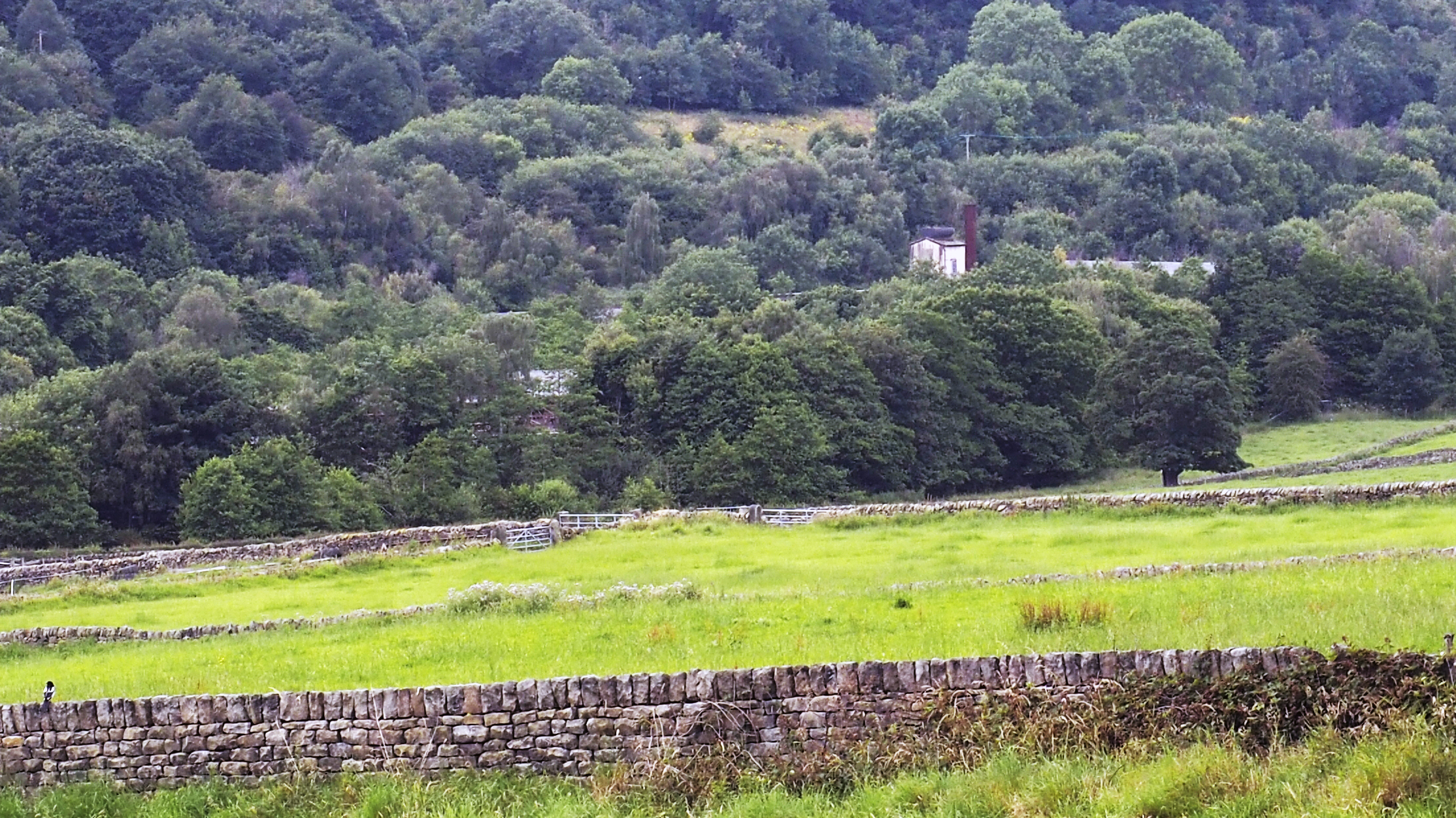
But we have concerns and questions. We are not yet convinced that the scheme will adequately safeguard its Green Belt riverside setting, which is surrounded by mature woodland and a Local Wildlife Site.
Our concerns are set out in a detailed set of comments that we have submitted to the Sheffield City Council planning officer who is assessing the planning application.
You can read the planning application and our response on the city council planning portal website – the planning application reference number is 26/00453/FUL. You can also download our document here.
Why we are raising concerns
The new planning application is much more modest than the 300-dwelling suburban housing estate that was rejected by a Planning Inspector five years ago.
But we need to be convinced that it overcomes the Inspector’s main concerns, i.e. that it will not harm sensitive Green Belt countryside, that it will safeguard biodiversity and wildlife, and that it will address the remote and inherently unsustainable location.
Sky-House say they can achieve these goals. But our detailed reading of the many planning application documents has left us with concerns and unresolved questions.
We have told the planning officer that we do not feel able to support the scheme unless these concerns are resolved.
Key areas of concern and uncertainty are as follows:
- We would welcome convincing evidence that the development will not harm the Green Belt by encroaching into the countryside. Although the development has fewer buildings than last time, it will still sprawl over a wide area of the valley and be closely adjacent to the river.
- The new homes will be set in areas of private leasehold woodland. The planning application says there will be strict conditions to prevent residents developing these areas. But it is not clear how these will work, or how they will be enforced. These private areas would run along the whole riverside. They appear to be at odds with the need for a riverside “buffer zone” for wildlife.
- The site is not in a sustainable location. It is remote from local settlements and services. Public transport is poor, and routes for walking or cycling are long, steep, and on 60mph roads. We feel the planning application needs convincing measures to address these shortcomings.
- The planning application proposes a shop, café, floodlit padel court, and an unspecified number of riverside parks and picnic areas. Such things would attract traffic and visitor numbers. We worry that they would be at odds with keeping the riverside quiet and undisturbed for wildlife.
- We have the same concerns about light disturbance from cars, streetlights and large glazed windows. The planning application proposes mitigation measures, but we feel these lack detail.
The above is of necessity a very condensed summary of these points. Please do refer to our full document if you would like to know more.
We have said in our objection that we would be prepared to reconsider our position if our concerns are addressed before the council reaches a decision on the planning application.
Who else is raising concerns?
Regrettably, FoLV is not the only organisation that is not yet convinced by the scheme.
The Sheffield and Rotherham Wildlife Trust and the South Yorkshire Bat Group have both submitted objections.
They say that the planning application is not supported by adequate assessments of biodiversity and wildlife, and that it will cause ecological harm. FoLV does not have their expertise, but we share their view that effective safeguards are paramount.
The Environment Agency has also tabled a detailed objection raising concern about loss of biodiversity. It also requires changes to flood control measures and how the River Loxley flows through the site.
What happens next?
The city council planning officer must now assess all comments that have been submitted about the scheme – for and against.
We would expect the officer to then draw up a report summarising the pros and cons, and to recommend whether councillors on the planning committee should approve or reject it.
Friends of the Loxley Valley chairperson Joanne Lee said the FoLV committee have worked hard to scrutinise the application in detail.
“We have shared with members our reading of the extensive documentation uploaded to the Planning Portal and we have sought their views at a members’ meeting,” said Jo.
“The position we have arrived at is also informed by discussion with local people and key organisations.
“We recognise that this is a complex application which the developers intend to be exemplary. At this time, the evidence in the documentation leaves questions about the measures they say will prevent harm to this very special place.
“As a Friends group, we take very seriously our aim to help care for the Loxley valley and when necessary to protect and defend it. We hope that the points we have raised in our objection will be taken account of by the planning officer and that they will press the applicant to address the areas of significant concern.”
- If you wish to discuss the planning application with FoLV, please email us at info@friendsoftheloxleyvalley.com
- You also have the right to submit your own comments to the city council planning department (planning application reference number is 26/00453/FUL). The official deadline for doing this is now Friday, May 15th, although comments can be submitted at any time before the planning application is determined.


