The Sheffield house building company Sky-House Co has submitted a detailed planning application to redevelop the abandoned old factory buildings in the Loxley valley.
Sky-House propose to build 73 new homes on the old Hepworth refractory site in what has been described as a £43m “eco development”, (as reported by Sheffield Star).
Their planning application was submitted in early February, but its complexity means it has taken over a month for planners to “validate” it and place it on the city council planning website.
It can now be viewed on the Sheffield City Council online planning portal, where you can also post comments to say what you think of it.
You can view it by searching for planning application reference number 26/00453/FUL
In the application, Sky-House say their vision for the site is to create “an exemplary residential community that not only respects the unique character of the valley but also contributes positively to the environment”.
The application is made up of over 100 documents including many detailed surveys and technical assessments.
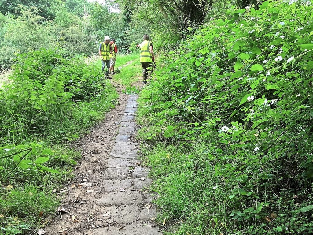
Friends of the Loxley Valley will now study it carefully to see if it meets planning policy and whether it protects the special character of this sensitive Green Belt location.
We will consult our members and other interested organisations before coming to a view about the proposal.
Sky-House have told us that they have held extensive “pre-application” discussions with Sheffield City Council. They say the council have agreed to determine the application within six months of its submission.
What is the background to this new planning application?
Previous proposals for a much larger development of 300 houses were rejected by Sheffield City Council. They were subsequently rejected by a planning inspector who listened carefully to all the arguments.
The inspector held a five-day planning inquiry. Afterwards, he ruled that the Loxley valley was an important tranquil green corridor that needed safeguarding from urbanisation.
He said a large suburban housing project would alter the valley’s special character and encroach into the countryside.
He was concerned that a large development could harm wildlife and biodiversity.
And he said the site was too remote from local services like shops and schools to be sustainable.
Friends of the Loxley Valley took part in the planning inquiry alongside the environmental charity CPRE Peak District and South Yorkshire (CPRE PDSY). South Yorkshire Bat Group also took part in the enquiry, and other local people and organisations including Hallamshire Historic Buildings gave evidence.
Friends of the Loxley Valley contact with Sky-House
FoLV and CPRE PDSY have met Sky-House several times before the submission of this new planning application, to learn more about their plans. FoLV also organised a meeting for the developers to explain their emerging plans to our members and to answer questions.
We have reminded Sky-House that the last planning application produced around 1,000 objections. It was opposed by local councillors from all the main parties, and by numerous local groups.
We urged Sky-House to consult extensively before submitting the new planning application
FoLV and CPRE PDSY wrote to them some time ago to remind them of the key points of the inspector’s ruling, and of the site’s exceptionally sensitive location. It is surrounded by a Local Wildlife Site and on the very edge of the Peak District National Park.
We urged Sky-House to set aside as much of the site as possible for nature in their planning application. We also said they should ensure that development is kept well clear of the green corridor alongside the River Loxley, which is so important for wildlife and biodiversity.
What happens now?
We will now study the planning application carefully to see if it meets these standards.
Friends of the Loxley Valley recognise that Sky-House are trying to find a viable way of cleaning up the old factories without harming the beautiful local countryside and its thriving wildlife.
They say they want to deliver an exemplary scheme that Sheffield can be proud of.
We hope they can achieve this, but we should remember that the bar is set high.
We will not rush to judgement. If it is approved, this development will affect the character of the Loxley valley for years to come. We think local people will want to be convinced that it gets the balance right.